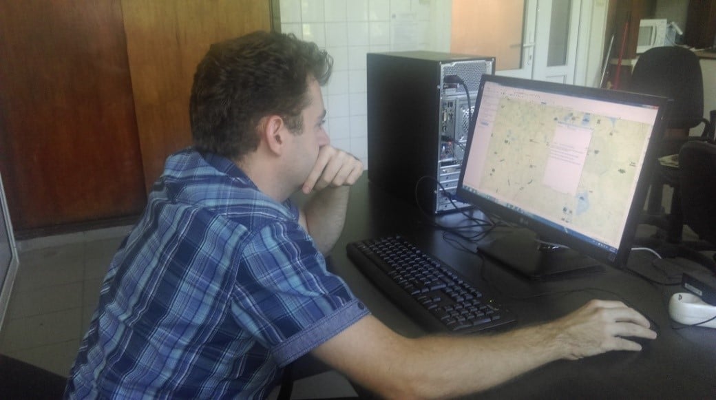
The Department of Numerical Modeling and Geographic Information Systems (MNSIG) carries out the processing and interpretation of large volumes of data that result from the monitoring activities of hydrodynamic and hydromorphological phenomena. The data are acquired from field measurements (2D single-beam and 3D multi-beam bathymetric measurements) and from hydrodynamic and hydromorphological numerical simulations. For the numerical simulation processes, a six-node cluster system is used that has a large capacity for processing and storing the data obtained from use of the MIKE (DHI) and Delft3D suite (Deltares) modeling software. The results are used to identify and evaluate the changes in the morphology of water bodies (bed variation and identifying erosion / sedimentation phenomena). Moreover, the MNSIG elaborates thematic maps for the Institute`s main fields of activity and processes the data collected from the receiver station network that monitors the ultrasonic tagged sturgeons.
- Home
- About Us
- Scientific Departments
- Laboratories Department
- Environmental Quality Assessment
- Waste Management
- Natural and Technological Hazards
- Numerical Modeling And Geographic Information Systems
- Impact of Built Environment and Nanomaterials
- Engineering For Environmental Protection And Impact Assessment
- Climate Change And Sustainable Development
- Biodiversity And Ecosystem Dynamics Department
- Management Of Natural Resources And Green Energy
- Research activity
- Projects
- Reports
- News
- Contact


